TurkishLine VTC
Give us way, we're coming!
Nordic Horizons: Building Nature & Mountains with Pavel
Another blog where we take you behind the scenes of our work is here! This time, we're excited to introduce you to our talented map designer Pavel. He is currently working on the nature and mountains for the Nordic Horizons map expansion. So let's learn more about his creative process!
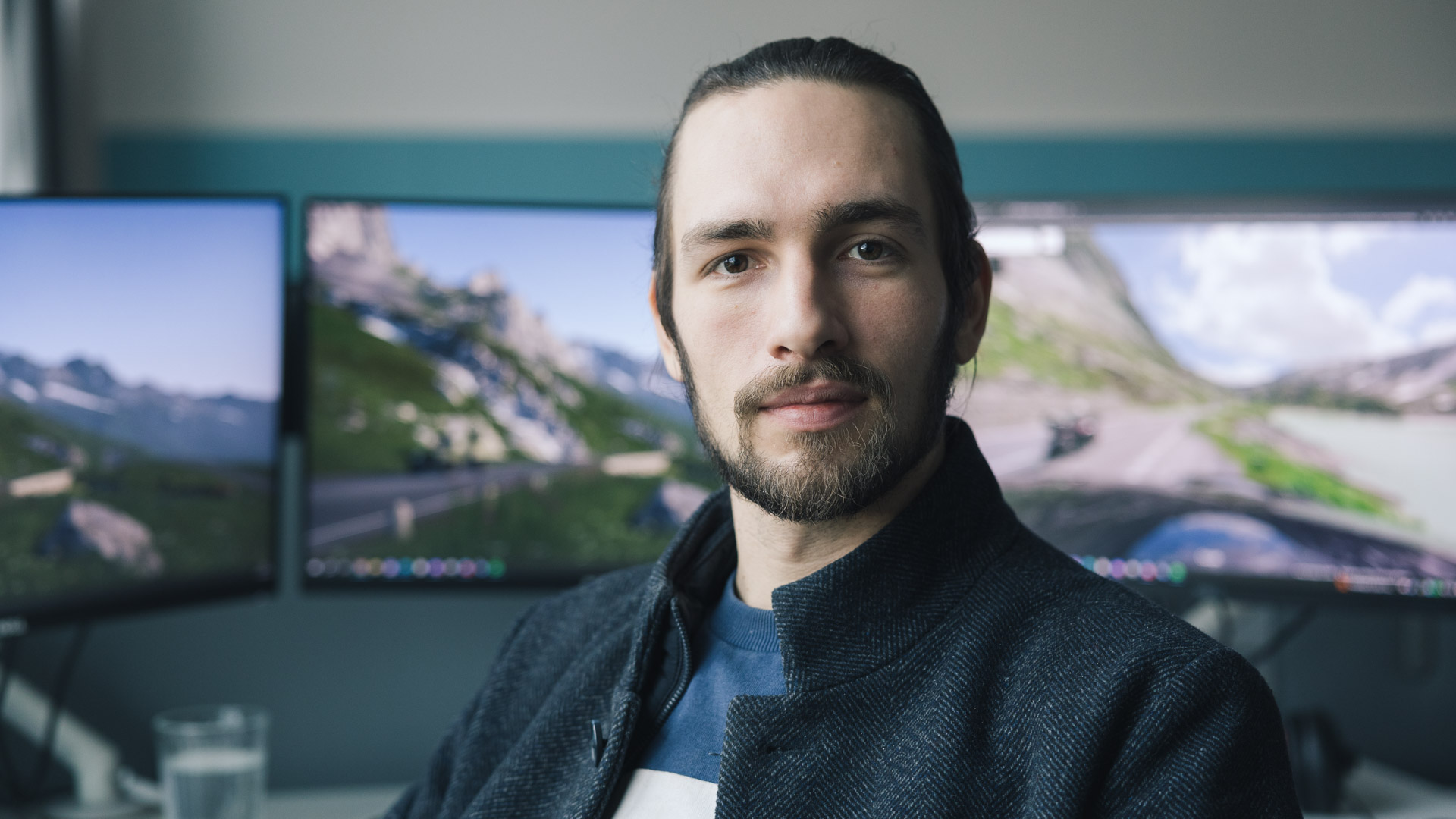
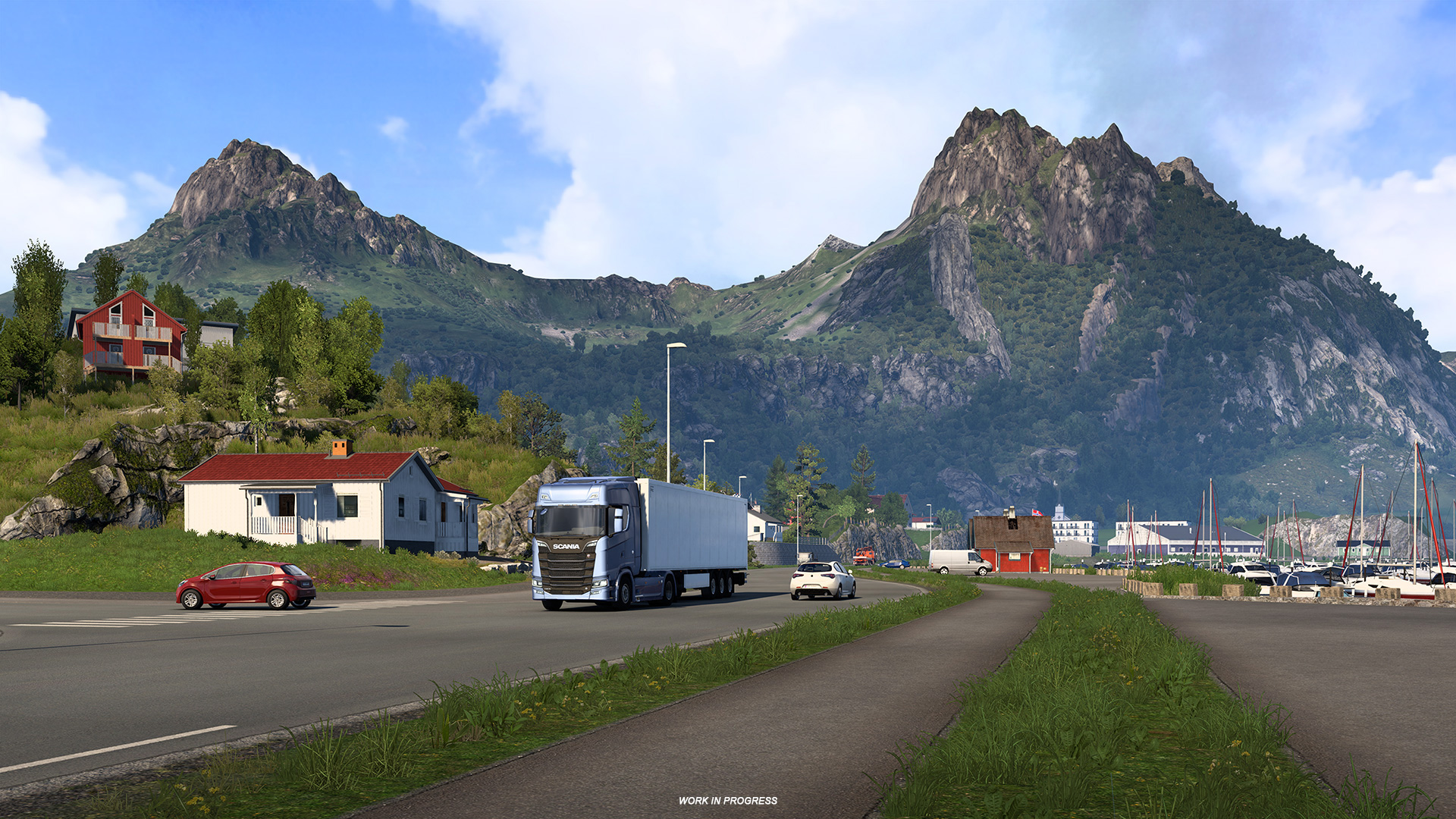
Pavel - Map Designer "In this map expansion, I am recreating the beautiful archipelago of Lofoten. It extends from mainland Norway into the North Atlantic Ocean and despite belonging to the Arctic Circle, there is plenty of taller vegetation as well. This, combined with the majesty of the mountains surrounded by water, the colourful houses, and the many fishing harbours, creates an environment that is very satisfying to both capture and pass through," Pavel says about his project.
As with all new map expansions, we conducted field research by travelling to the country ourselves to collect references and data.
"I have had the opportunity to visit Scandinavia several times. Most recently, it was made possible by the management of SCS Software for research. The journey through Norway and Sweden was very beneficial for me as a map designer," Pavel tells us and also walks us through what needed to be done before the actual designing of the map.
"Research into shorter and taller vegetation, architecture and road networks preceded the design of the landscape. Textures, models and other functional elements were gradually created in collaboration with all departments. Their use and the representation of the landscape character in the map is preceded by a layout including the road network, depots, truckstops, gas stations, etc. On this layout with the help of Google Maps, I gradually, taking into account the limits of the virtual environment and the map editor, create a landscape with natural elements. This involves a lot of spatial imagination and sometimes a little magic."
Comments
Social
Information

Tag: TurkishLine VTC
Language: Turkish
Created: 03 Oct 2022 9:35 UTC
Supported Games
DLCs Required: 0
Minimum Account Age: No restriction
Owner: MIHΛWК.png
Members: 136
Recruitment: Open
Latest News
- Bye-bye CD Road 07 May 8:30 UTC
- TruckersMP 12 Year Anniversary 24 Apr 17:56 UTC
- TruckersMP 2025 Recap 18 Apr 9:00 UTC
Useful Links
Support TruckersMP
2026 © All Rights Reserved. Privacy Policy | Terms of Service | Rules | Code of Conduct | Platform Status | RSS | Consent Manager